Smart Seismic Solutions, called «S³», is an agile and adaptable Geoscience Company deploying high-end technologies and high-skilled people in any kind of environment. We acquire the best and most accurate geophysic data, necessary to highly strategic decisions.
Our expertises
Reveal your Geological potential
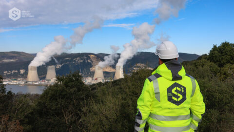
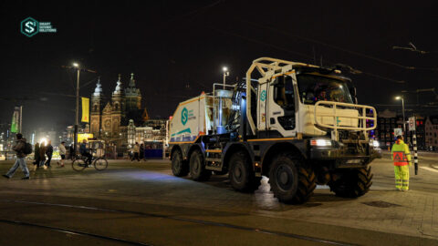
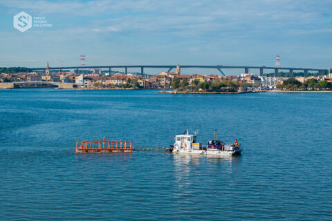
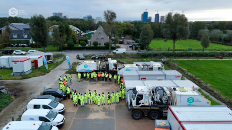
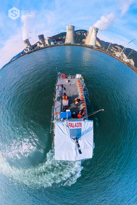
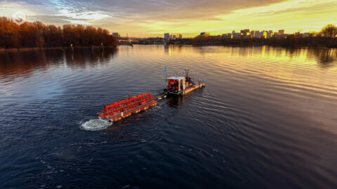
Drawing on its long experience and expertise in geophysics, S³ has developed cutting-edge technologies adapted to all types and needs of environments. This technological and operational flexibility makes it possible to collect data over a limited period of time, in an acceptable manner to local population and environment.
CITIES
JUNGLE
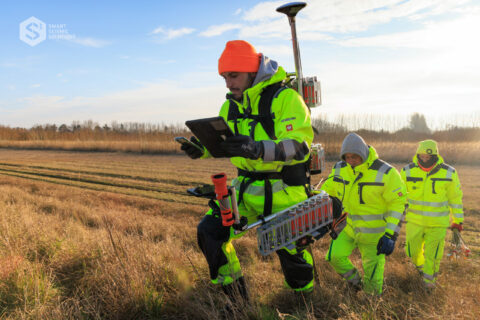
LAND
DESERT
MOUNTAINS
WATERS
ALL SEASONS
NIGHT & DAY
HOT & COLD
THE MOST ACCURATE DATA [no compromise on quality]
SOCIAL ACCEPTABILITY [fast & smooth]
ENVIRONMENTAL AWARENESS [integrated to the area]
Data symphony
We communicate with Earth by sound signals.
How ? We send acoustic vibrations into the subsurface, and we listen to the response given by Earth. We then know the natural structure of the subsoil at the area we are operating. We record it as DATA, that can be analyzed to determinate the subsoil potential.
Key numbers
(90 years as CGG LAND / 10 years as S³)
the best of both world: experience x youth
A WORLDWIDE EXPERIENCE
Clients & partners